
City addresses flooding that is worsening with sea level rise
By Nancy English
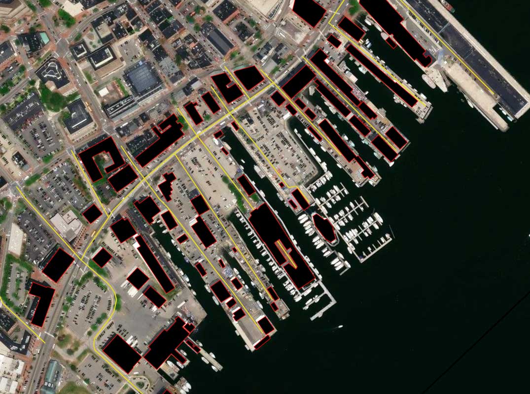
The water gently rocking the boats at the wharfs of the Portland waterfront doesn’t often unmask its power. But when a king tide, a high tide at the new or full moon, converges with a storm surge and a Nor’Easter creating rivers of rainwater inside the city stormwater system, as happened in January 2024, the resulting flooding can damage even massive structures on the Portland waterfront.
Steve DiMillo, owner of DiMillo’s on the waterfront, said his floating restaurant rose higher and began to smash against the marine dolphins – structures of pilings meant to hold it in place – during that storm.

DiMillo hired a boat to keep pressure on the floating restaurant, holding it away from the damaged pilings. He and his staff kept a close eye on the floating docks in the marine, which were nearly lifting off their own pilings and could have floated free, smashing into whatever was nearby.
After the storm ended, DiMillo faced costs of $75,000 to repair the dolphins, adding higher timbers and replacing the horizontal timbers the restaurant rides against, among other repairs.
The height of that combined storm and king tide broke a record from 1978, DiMillo said. The damage ranged up and down the waterfront, which now regularly floods at astronomical high tides.
Rising Sea Level in Coastal New England
“Many things are adding to sea level rise,” said Soni Pradhanang, Professor of Water Resources and Quality at the University of Rhode Island, discussing the effects of climate change. Thermal expansion is a large part of the rise, as the vast surface of the ocean absorbs heat and water molecules expand. Another is the melting of land-based ice, most closely in Greenland. Its ice sheets are melting at an ever-faster pace, she said, and will probably be a larger contributor to sea level rise in the future.
“All coastal cities in New England are affected, and faster than elsewhere,” Pradhanang said. “’Land subsidence’ is a big issue now.”
Though the New England coast rose following the most recent melting of North American ice sheets, 20,000 years past, it has now begun to sink. Pradhanang said Portland was sinking at a rate of approximately 1.8 millimeter a year. It is a phenomenon called glacial isostatic subsidence.
According to the Maine Geological Survey, the sea level in Portland has risen 1.79 inches in the last 25 years. But the rate of increase is also rising, Pradhanang said. By 2050 the sea level is predicted to be 1.8 feet higher. By year 2100, it is expected to rise more rapidly, by 4.6 feet.
“Move away from the coast if you can,” Pradhanang said.
City Efforts to Address Waterfront Flooding
The current data does not include wave heights on the commercial waterfront, according to Curtis Bohlen, Director of the Casco Bay Estuary Partnership. He noted that waves are a secondary cause of flooding.
He said, “For reasons having to do with the distribution of tidal heights over time, the number of minor flooding events goes up much faster with moderate sea level rise than does the probability of extreme floods.” Repeatedly flooded streets degrade more quickly. “Significant damage tends to come from a difficult to predict confluence of events.”
The City of Portland is addressing waterfront flooding with a major drain replacement project that starts this summer.
“The City has one major stormwater infrastructure project planned for Commercial Street … that will install a new 42-inch storm drain on the Portland Fish Pier property and along Commercial Street between Maple Street and Center Street,” emailed Justin Pellerin, Senior Water Resources Engineer in the Public Works Department. It should reduce chronic flooding at the intersection of Maple and Commercial near the Portland Fish Pier, he said.
The separation of stormwater and sewer water addresses Portland’s chronic issues with polluted overflows during storms, as well. It is one of multiple separation projects done and planned. This new storm drain system will collect “approximately 30 acres of combined sewer area draining Center Street, Free Street, Spring Street, and Pleasant Street, thereby reducing Combined Sewer Overflows (CSOs) to Portland Harbor.”
Longer Range Efforts for the City
Portland’s One Climate Future plan, devised in collaboration with South Portland, is implementing many projects intended to mitigate the consequences of climate change. Some address flooding.
The Coastal Flood Resilience Overlay Zone was created by ReCode Portland. This was the process by which the City overhauled its land use code in November 2024. The new zoning requires most inhabited new buildings to be one foot above the predicted height of flood waters that may occur as the result of a 100-year storm plus 3.9 feet, an estimate of the increase in sea level at high tide.
Bohlen called this “a reasonable choice for planning purposes.” But, he said, having certainty about flood heights is not possible, given the multiplicity of contributing factors.
Explore More
Climate Ready Casco Bay is the name of a detailed Geographic Information System (GIS) multi-layered map of flooding and other climate related issues. One map reveals which streets and buildings as well as shorelines will be flooding in future years. Visit: https://storymaps.arcgis.com/stories/1878f33e96594c988708e02881673334
According to the Maine Geological Survey, the next king tide occurs during the full moon on February 1st, 2026. This link keeps the records: https://tidesandcurrents.noaa.gov/stationhome.html?id=8418150.