By John Johnson
On January 8th, Western Cemetery was approved by Portland’s Historic Preservation Board for listing on the National Register of Historic Places. Western Cemetery will join Eastern (1973) and Evergreen (1992) on the register.
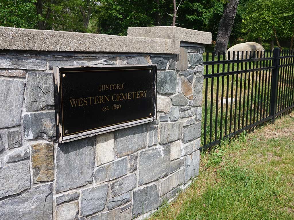
Western Cemetery is a 12-acre outdoor museum of cultural symbolism. Many seek this urban green space for quiet reflection. Enter the lychgate on Vaughan Street and discover slate gravestones, the first example of sculpture in New England.
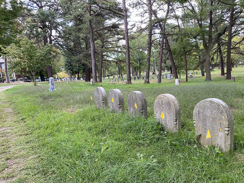
Massive granite blocks are buried in hillside family tombs. There are monuments to famous people. Granite obelisks to honor the departed. Flag-marked graves of domestic and foreign war veterans, sea captains from the city’s rich history of maritime commerce, and clergy of the Protestant elite.
The Catholic Burial Ground, with many unmarked graves, is an explicit reminder of our immigrant Irish heritage. The vast majority of headstones are fashionable mid-19th century white marble, all in need of conservation.
Engineered for the Ages
Unlike Eastern (early burial ground) and Evergreen (rural cemetery style), Western reflects an evolving approach to landscape design in the 19th century. Established as a private burial ground (1811) and later as a public cemetery (1830), Western has concentric oval circulation avenues designed by Captain James Hall, a civil engineer and first superintendent of the Cumberland and Oxford Canal (1830). Hall’s circa 1836 elliptical pattern is the dominant feature of this landscape from the period of significance dating 1811 (first burial) through 1914 (Daveis Gate).
The Vaughan Family burial ground was created at the death of William’s second wife Elizabeth in 1811. Vaughan’s Federal style house (1799) on Danforth Street is the oldest house in the West End neighborhood. In the early 1800s Eastern was at capacity. So Portland purchased Vaughan’s undeveloped property on Bramhall Hill to create a large public cemetery and engaged Hall to draft an engineering plan to formalize the arrangement of future burials.
Unfortunately, we don’t have Hall’s original plan. However, following the Great Fire (1866), cartographers charted the “City and Harbor of Portland” map during waterfront rebuilding (now known as the Old Port). This 1870 plan illustrates Hall’s original elliptical shape of avenues and paths. The Coastal Survey map was 20 years before Portland city engineer William Goodwin’s plan (1889) and detailed individual burial plot locations. Today we use Goodwin’s plan and William Jordan’s burial records to find individual grave markers. Jordan’s publication expanded on the work of Virginia Greene (1938).
Deterioriation and Challenges
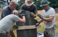
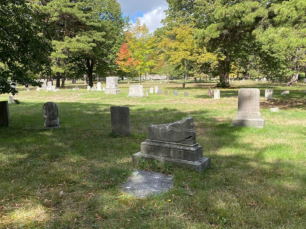
Western presents unique preservation challenges. Grave markers are a finite deteriorating resource needing protection from weathering, vegetation, vandalism, and deferred maintenance.
Stewards of the Western Cemetery, an all-volunteer not-for-profit organization, work to protect this cultural heritage. Last year was outstanding for conservation achievements, see https://westerncemetery.me/.
A rare historic photograph (1857) informs preservation decisions along with guidance by stone conservation professionals. Tour guides explore buried history to document genealogy. Next, the Maine HPB will approve the nomination, before final listing on the National Register of Historic Places by the National Park Service.
John Johnson is a neighbor of Western Cemetery with 50+ years experience in public history.